Finding people lost at sea is an incredibly difficult task. The uncertain nature of tides and winds combined with dangerous exposure to elements means that the chances of rescuing people after six hours are very slim. Fortunately, a team of international researchers is using math to understand more about our oceans and potentially even save lives.
The international team, led by George Haller, Professor of Nonlinear Dynamics at ETH Zurich, used the dynamical systems theory and ocean data to develop an algorithm to predict where objects will be propelled when they land in the sea.
Using intricate data models, the team mapped out TRansient Attracting Profiles (TRAPs) along which items congregate on the ocean’s surface. These allow rescuers to not only map out an area where a vessel may be located but also chart out the path it would follow if adrift.
A thorough understanding of how tides, winds, and currents work together is critical for predicting where objects will be pushed by the vast and powerful ocean. Unfortunately, with current methods, uncertain parameters, and missing data mean that these predictions can be inaccurate.
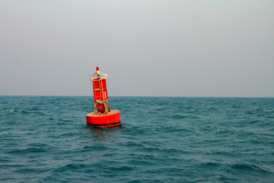
The tool was put to the test with the help of MIT’s Department of Mechanical Engineering, a group of the Woods Hole Oceanographic Institute, and the U.S. Coast Guard. The team tested their algorithm with real-time data from the Coast Guard in two trials near Martha’s Vineyard. Using buoys and manikins thrown in the water, the team successfully located TRAPs in the region and predicted the path of these manikins.
The team says the technology is relatively inexpensive and easy to use. It could be incredibly beneficial for saving lives at sea and even be applied to track the path of oil spills for more efficient cleanup efforts.


