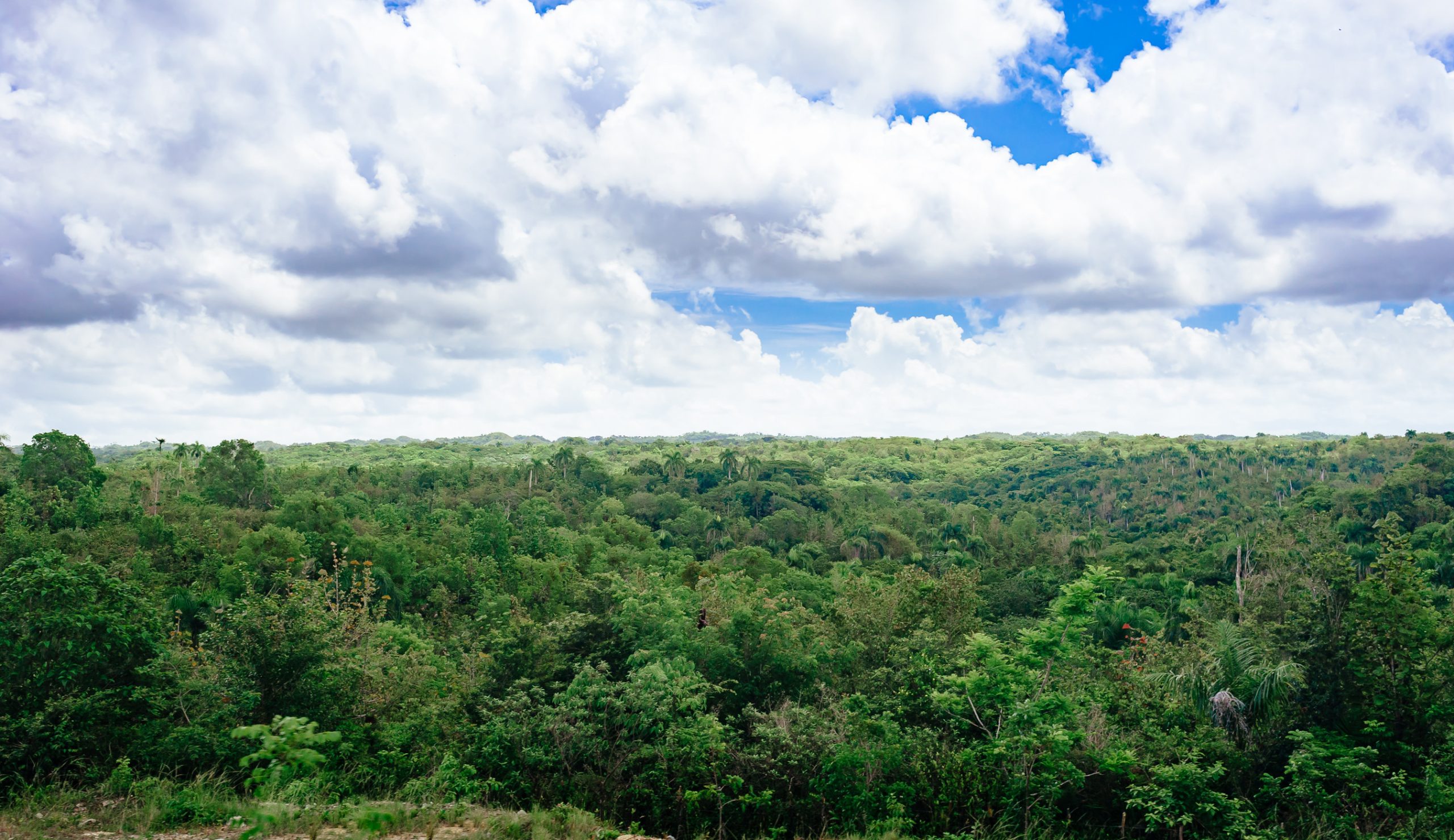
Much of our anxiety surrounding the climate crisis is driven by the feeling that we can do little to influence the rapidly changing climate. So, if you’re looking for a hands-on way to contribute to conservation, we’ve got a solution for you. And you don’t even have to leave your couch to take part.
SAS, a systems analysis company, teamed up with the International Institute for Applied Systems Analysis (IIASA) to build an artificial intelligence model that can recognize signs of deforestation and they need citizen scientists to help them do so. In order to “train” the AI to recognize signs of deforestation in satellite images, the program is using dedicated volunteers to sort through images taken from space and look for clues. Citizen scientists who want to participate simply go to the program website and scan images for signs of human activity like cars, roads, or farm plots. This helps the AI learn where deforestation is being caused by human activity.
IIASA has used citizen science to help identify deforestation around the globe. It’s not always an easy task. Differentiating between natural forest fire and a man-made clear cut sometimes requires a bit of human help. Since launching in April, users have analyzed nearly 41,000 images covering an area of land equivalent to the size of Montana.
The more participation they get, the more accurate the AI data will be at detecting potential deforestation to inform intervention and conservation decisions. Moving forward, IIASA and SAS plan to expand their image analysis west to Peru and south into Bolivia. If you’re looking for a tangible way to contribute to conservation, we urge you to visit the website today and take part in meaningful citizen science!


