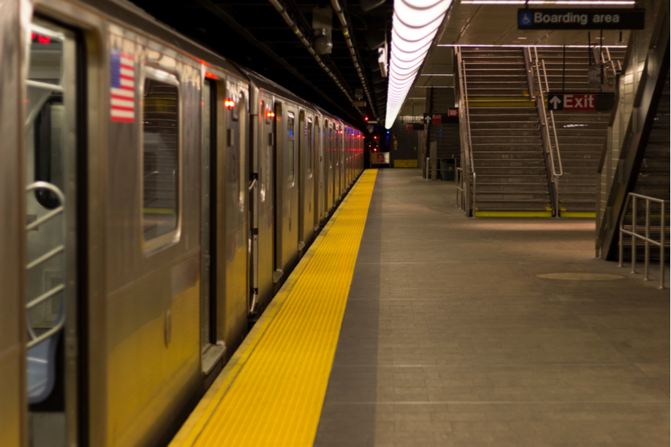
If you live in New York or Sydney, you will soon be able to use Google Maps to see how busy each transit car is before stepping aboard a train or subway.
The new feature is part of a product update announced by Google last week, which will allow users to observe live crowd data on individual transit carriages so they can sit in a less congested space — a feature that’s particularly welcome in a time of pandemic.
While the trial update is currently only available in New York and Sydney, aided by mobility agencies such as Long Island Rail Road and Transport for New South Wales, the tech giant has plans to make the feature available in more urban areas around the world.
As part of the new update, users can check how crowded each transit wagon is on Google Maps. If the transit carriage in the image is blue and numbered, there are more seats available, reports Business Insider.
The new feature is part of Google’s greater plan to expand the live crowdedness predictions to more than 10,000 agencies in over 100 countries. The company first launched the feature in 2019 but decided to improve it in June 2020 as social distancing became more important during the pandemic.


