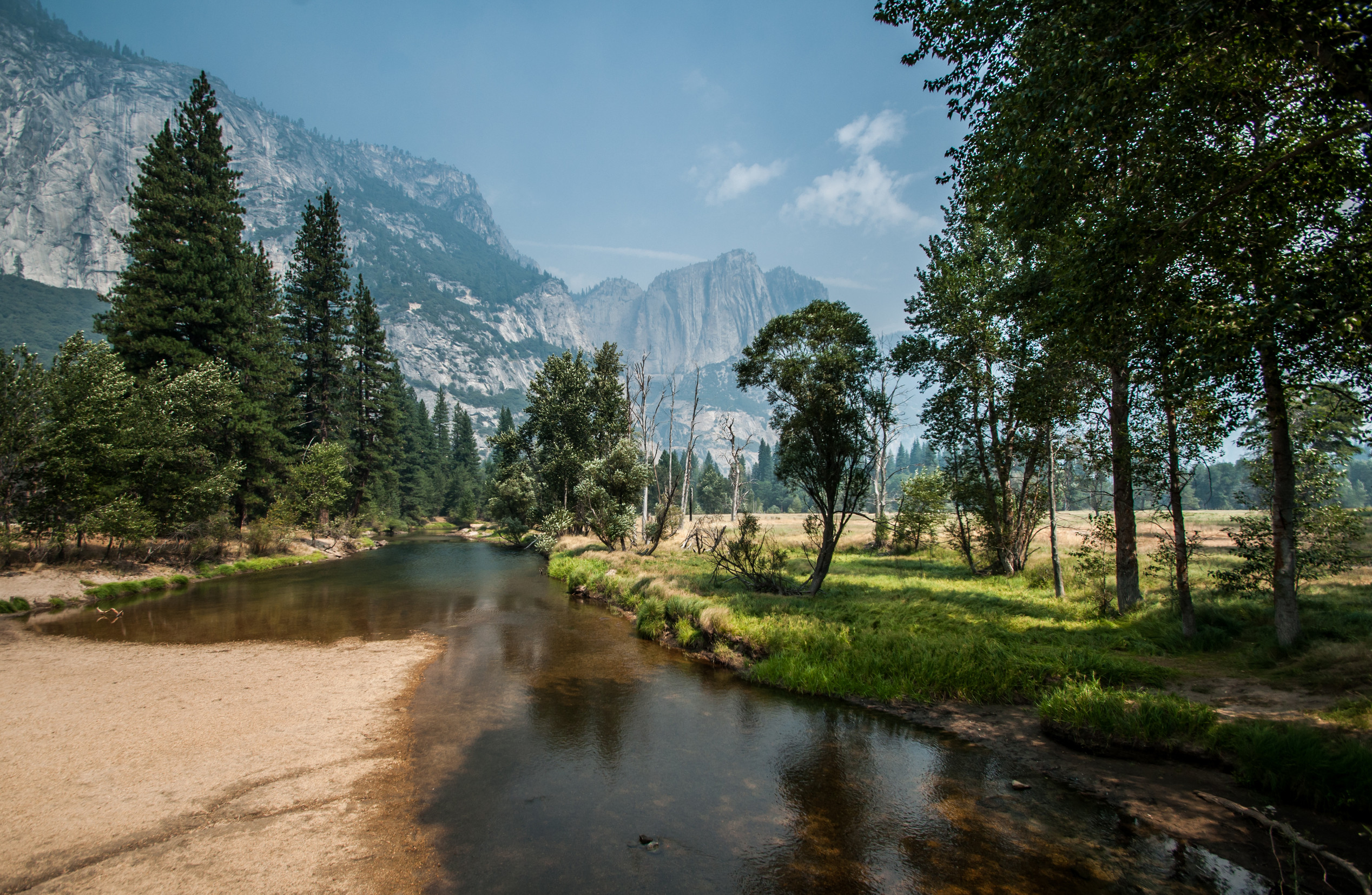
Planet Earth is changing, transforming, and shifting faster than we can keep track of these days. Human development continues to spread, The Alps are turning from white to green, massive solar farms are being erected, and droughts are shrinking lakes and drying out rivers.
All of these major changes are impacting the planet’s climate, ecosystems, and biodiversity—and to meet these challenges as intelligently and effectively as possible, we need to see what’s happening in real-time.
However, tracking such changes as they happen has proven to be difficult, to say the least.
Dynamic World
Enter Google Earth Engine’s new tool, Dynamic World, which was built in collaboration with the nonprofit World Resources Institute. Dynamic World pulls from satellite data to create detailed maps in near real-time. It gives users the ability to zoom in on the planet in 10-by-10 meter squares from satellite images collected every two to five days.
Artificial intelligence is used to categorize each pixel into nine classes that range from bare ground to trees, crops, and buildings.
Curious users, nonprofits, or researchers, can use Dynamic World to “explore and track and monitor changes in these terrestrial ecosystems over time,” explains senior program manager for Google Earth Outreach Tanya Birch.
Trading statistics for satellites
Before, scientists had to rely on statistical tables that were released every five years or so, according to Fred Stolle, deputy director of the World Resources Institute’s Forests Program. “That’s clearly not good enough anymore,” he says. “We’re changing so fast, and the impact is so fast, that satellites are now the way to go.
Researchers and planners are already using satellite data in different ways. For instance, the World Resource Institute worked with Google to form Global Forest Watch, a tool dedicated to tracking deforestation via satellite images. While satellite images are still better than statistics, what Dynamic World offers is much more detailed. It’s even possible to see if only one or two trees are cut down in a large tropical forest, says Stolle.
The tool can also be practically applied in cities. City planners can use the data from Dynamic World to quickly gather information on which neighborhoods are lacking in green space.
Researchers in regions dealing with extreme weather can see the impact that droughts have on the area, even when crops are being harvested.
There is data from as far as five years back, so anyone using the tool can enter date ranges within the past five years to see how a location has transformed over time.